Yinan Feng
Research Notes
Methods, experiments, code, and geospatial resources from my research.
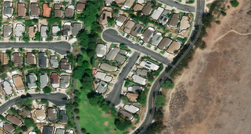
Working notes on remote sensing, building footprints, and open-source tools. For a project overview, visit Research; for published papers, see Publications.

rasterarea - A python package
rasterarea is a Python package I created to visualize geospatial data