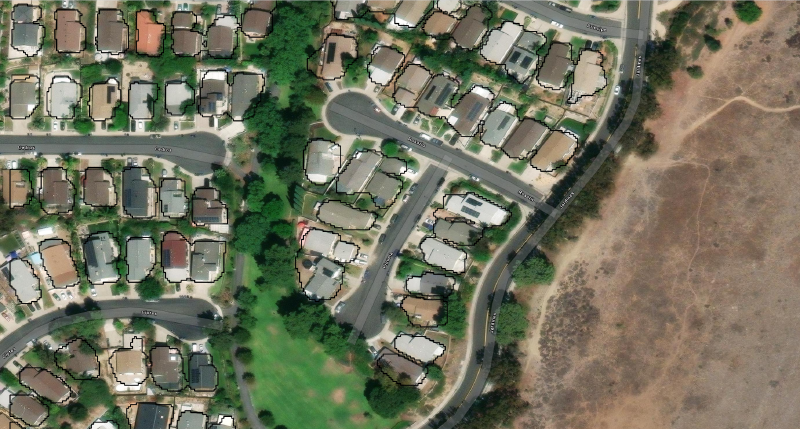
From an Orange County U-Net prototype to RGB–height models, selective GlobalBuildingAtlas refinement, multi-region evaluation, and a growing US building-footprint pipeline.
Welcome to my personal website
Share links to some useful datasets and websites
Welcome to visit my Github homepage
rasterarea is a Python package I created to visualize geospatial data